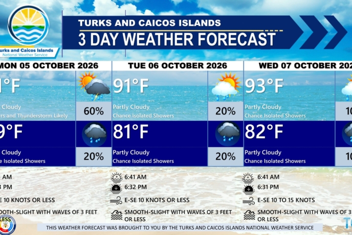
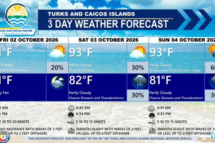
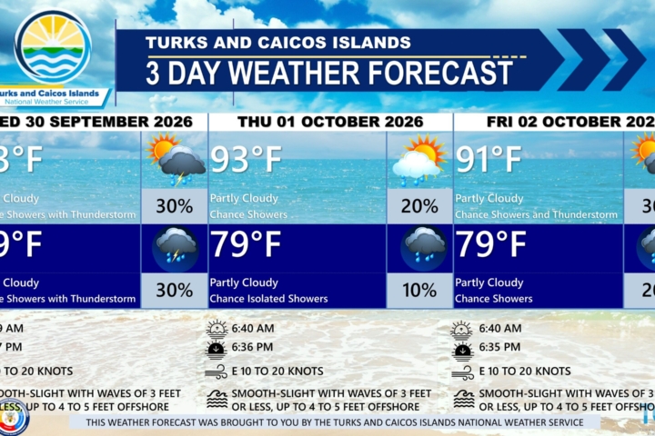
PUBLIC FORECAST FOR THE TURKS AND CAICOS ISLANDS FOR THE NEXT THREE DAYS FROM MONDAY AUGUST 10TH 2026
GENERAL SITUATION: A high pressure ridge and Saharan dust plume are combining to bring warm, hazy, and dry conditions across the Turks and Caicos Islands today.
SPECIAL WARNINGS: A Heat Advisory is in effect for the Turks and Caicos Islands. Residents and visitors should take the necessary precautions while outdoors during peak sunshine hours (10 am – 4 pm) and to safeguard their health as heat indices in the triple digits are anticipated.
ALL AREAS
WEATHER: Partly cloudy and hazy today.
WINDS: Easterly at 10 to 15 knots
SEAS: Slight to moderate with wave heights of 3 feet or less nearshore, building up to 5 feet offshore.
DAYTIME HIGH TEMPERATURE 91°F 33°C
HEAT INDEX 105°F 41°C
OVERNIGHT LOW TEMPERATURE 82°F 28°C
SUNSET: 07:23 PM
NEXT LOW TIDE: 12:46 PM (0.3 FT)
NEXT HIGH TIDE: 07:25 PM (3.3 FT)
EXTENDED FORECAST: Hot temperatures and gentle to moderate winds are expected to persist across the Turks and Caicos Islands throughout the work week under a deep ridge of high pressure. Rainfall chances will remain low due to a dry air mass and Saharan dust, which will contribute to hazy or milky skies and slightly reduced air quality at times. By Wednesday, an approaching tropical wave will slightly increase the chance of showers and thunderstorm activity across the islands.
TUESDAY: Partly cloudy and hazy, with a high near 91°F (33°C).
TUESDAY NIGHT: Partly cloudy and hazy, with a low around 82°F (28°C).
WINDS: Easterly at 10 to 15 knots
SEAS: Slight to moderate with wave heights of 4 feet or less
SUNRISE: 06:25 AM
SUNSET: 07:22 PM
LOW TIDE: 01:57 AM (0.7 FT) 01:44 PM (0.3 FT)
HIGH TIDE: 07:35 AM (2.3 FT) 08:16 PM (3.3 FT)
WEDNESDAY: A low (10 to 20 percent) chance of isolated showers and an isolated thunderstorm possible in the afternoon. Partly cloudy, with a high near 90°F (32°C).
WEDNESDAY NIGHT: A low (20 to 30 percent) chance of showers. Partly cloudy, with a low around 82°F (28°C).
WINDS: Easterly at 10 to 15 knots
SEAS: Slight to moderate with wave heights of 4 feet or less
SUNRISE: 06:25 AM
SUNSET: 07:21 PM
LOW TIDE: 02:45 AM (0.7 FT) 02:39 PM (0.3 FT)
HIGH TIDE: 08:29 AM (2.3 FT) 09:05 PM (3.0 FT)
TROPICAL WEATHER OUTLOOK:
Eastern and Central Tropical Atlantic: An area of low pressure located a few hundred miles south of the Cabo Verde Islands has a low chance of formation over the next two days and a medium chance of formation through seven days. A tropical depression could form during the latter half of this week while the system moves westward to west-northwestward across the central tropical Atlantic.
Central Tropical Atlantic: A broad area of showers and thunderstorms associated with a tropical wave is located about midway between the coast of west Africa and the Lesser Antilles. The system has a low chance of development through the next seven days while it moves quickly westward across the central tropical Atlantic.
Western Subtropical Atlantic: A trough of low pressure located a few hundred miles northwest of Bermuda has a low chance of formation through the next seven days while it moves eastward and into cooler waters later this week.
FORECASTER: H. HAMILTON
Audio Version: