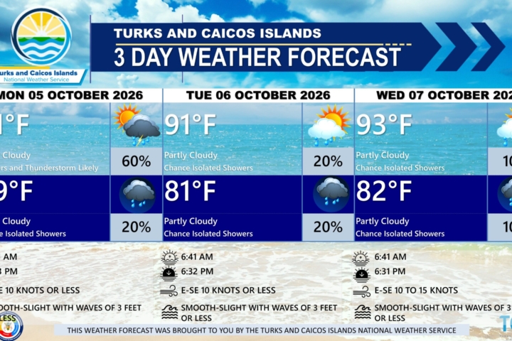
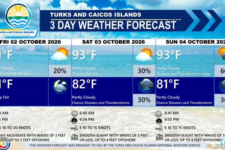
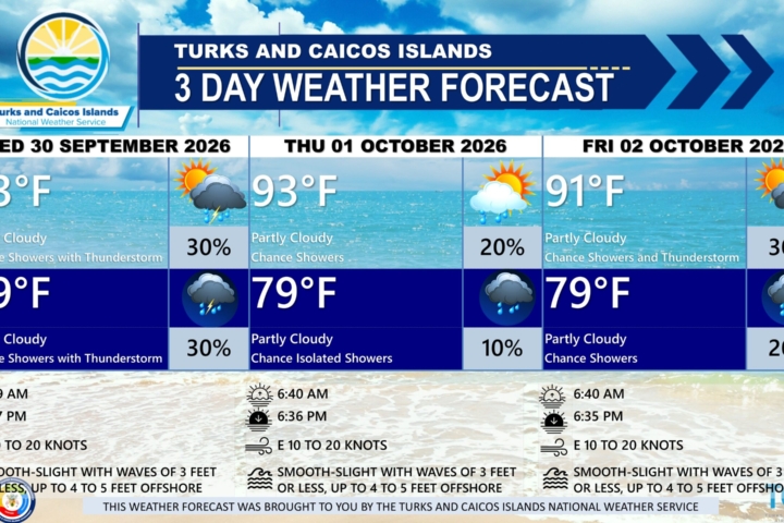
PUBLIC FORECAST FOR THE TURKS AND CAICOS ISLANDS FOR THE NEXT THREE DAYS FROM FRIDAY AUGUST 14TH 2026
GENERAL SITUATION: High pressure ridging across the Turks and Caicos Islands is maintaining warm, stable, and breezy conditions, as Saharan dust limits shower activity today.
SPECIAL WARNINGS:
Rip Currents: There is a high risk of rip currents along eastern and southern shorelines and Atlantic exposed beaches. Beachgoers and swimmers in these areas should refrain from entering waters in those areas.
UV Index: Members of the public are advised to wear protective clothing and sunscreen and seek shaded areas while outside during peak sunshine hours (11am – 4pm), as UV indices are expected to be in the very high to extreme range.
ALL AREAS
WEATHER: Partly cloudy and hazy with isolated showers possible today. Mostly fair tonight.
WINDS: East to southeast at 10 to 20 knots, gusting up to near-gale force (28 to 33 knots)
SEAS: Slight to moderate with wave heights of 3 feet or less nearshore, building up to 5 to 6 feet offshore
DAYTIME HIGH TEMPERATURE 91°F 33°C
HEAT INDEX 104°F 40°C
OVERNIGHT LOW TEMPERATURE 82°F 28°C
SUNSET: 07:20 PM
NEXT LOW TIDE: 03:27 PM (0.7 FT)
NEXT HIGH TIDE: 10:38 PM (3.0 FT)
EXTENDED FORECAST: High pressure ridging will build across the Turks and Caicos Islands through the weekend and into next week, bringing hot and mostly stable conditions.
SATURDAY: Mostly sunny, with a high near 93°F (34°C).
SATURDAY NIGHT: Fair, with a low around 82°F (28°C).
WINDS: East to southeast at 10 to 20 knots with gusts up to near-gale force (28 to 33 knots)
SEAS: Slight to moderate with wave heights of 3 feet or less nearshore, building up to 5 to 6 feet offshore, and increasing to 7 to 8 feet in the evening
SUNRISE: 06:26 AM
SUNSET: 07:19 PM
LOW TIDE: 04:57 AM (0.7 FT) 05:21 PM (0.7 FT)
HIGH TIDE: 11:05 AM (2.6 FT) 11:25 PM (2.6 FT)
SUNDAY: Mostly sunny, with a high near 93°F (34°C).
SUNDAY NIGHT: Fair, with a low around 82°F (28°C).
WINDS: Easterly at 10 to 20 knots with gusts up to 25 knots
SEAS: Slight to moderate with wave heights of 3 feet or less nearshore, building up to 5 to 6 feet offshore
SUNRISE: 06:27 AM
SUNSET: 07:18 PM
LOW TIDE: 05:40 AM (0.7 FT) 06:17 PM (0.7 FT)
HIGH TIDE: 11:57 AM (2.6 FT) – – – –
TROPICAL WEATHER OUTLOOK:
1. Central Tropical Atlantic (AL92): A tropical wave located about 400 miles east of the Windward Islands is producing gusty winds and a large area of showers and thunderstorms. This system is moving into a region of increasing upper-level winds and dry air, and the potential of development continues to decrease. The system has a low chance of tropical cyclone formation in the next 48 hours.
2. Eastern Tropical Atlantic (AL94): A tropical wave over the central tropical Atlantic, located more than 1000 miles west of the Cabo Verde Islands, continues to produce disorganized showers and thunderstorms. A tropical depression could form this weekend or early next week while the wave moves westward or west-northwestward across the central tropical Atlantic. This system has a low chance of tropical cyclone formation in the next 48 hours and a medium chance in the next 7 days.
FORECASTER: H. HAMILTON
Audio Version: