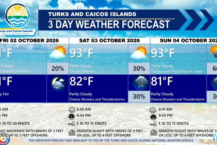
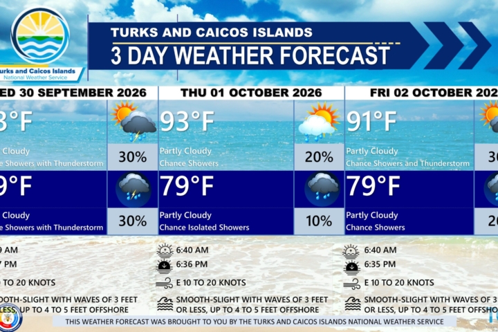
PUBLIC FORECAST FOR THE TCI FOR THE NEXT THREE DAYS FROM MONDAY 05TH OCTOBER 2026
GENERAL SITUATION: A weak high pressure is maintaining gentle to moderate breezes and smooth to slight seas, while an upper-level disturbance is generating showers and thunderstorms across the Turks and Caicos Islands today.
SPECIAL WARNINGS: There are currently no public warnings in effect at this time.
ALL AREAS
WEATHER: Partly cloudy to cloudy with a medium (40 to 60 percent) chance of scattered showers and isolated thunderstorms this afternoon. Partly cloudy with a low (10 to 20 percent) chance of isolated showers tonight.
WINDS: East to southeast at 10 knots or less
SEAS: Smooth to slight with wave heights of 3 feet or less
DAYTIME HIGH TEMPERATURE 91°F 33°C
HEAT INDEX 100°F 38°C
OVERNIGHT LOW TEMPERATURE 79°F 26°C
SUNSET: 06:33 PM
NEXT HIGH TIDE: 04:47 PM (3.0 FT)
NEXT LOW TIDE: 11:23 PM (1.0 FT)
EXTENDED FORECAST: The upper-level disturbance will drift away from the area, bringing a gradual reduction in shower and thunderstorm activity by midweek. However, a tropical wave passing south of the islands is expected to briefly increase shower chances by the end of week.
TUESDAY: Partly cloudy with a low (10 to 20 percent) chance of isolated showers. Highs near 91°F (33°C).
TUESDAY NIGHT: Partly cloudy with a low (10 to 20 percent) chance of isolated showers. Lows around 81°F (27°C).
WINDS: East to southeast at 10 knots or less
SEAS: Smooth to slight with wave heights of 3 feet or less
SUNRISE: 06:41 AM
SUNSET: 06:32 PM
HIGH TIDE: 05:02 AM (2.3 FT) 05:46 PM (3.0 FT)
LOW TIDE: 1:13 AM (0.7 FT) – – – – –
WEDNESDAY: Partly cloudy with a low (10 percent) chance of isolated showers. Highs near 93°F (34°C).
WEDNESDAY NIGHT: Partly cloudy with a low (10 percent) chance of isolated showers. Lows around 82°F (28°C).
WINDS: East to southeast at 5 to 15 knots
SEAS: Smooth to slight with wave heights of 3 feet or less
SUNRISE: 06:41 AM
SUNSET: 06:31 PM
LOW TIDE: 12:17 AM (0.7 FT) 12:20 PM (0.7 FT)
HIGH TIDE: 06:07 AM (2.3 FT) 06:40 PM (2.6 FT)
TROPICAL WEATHER OUTLOOK:
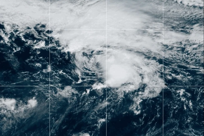
1. Southwestern Gulf of America: A trough of low pressure in the southwestern Gulf of America is producing disorganized showers and thunderstorms. Gradual development is becoming more likely, and a tropical depression is likely to form during the middle or latter portion of the week. This system is expected to drift eastward over the next few days, before it turns northward. This system has a high chance of formation during the next 7 days.
FORECAST: H. HAMILTON