
GENERAL SITUATION: A weakening surface trough could still trigger showers and thunderstorms this afternoon. Hazardous beach conditions will persist through today, with light to gentle winds expected through tonight and decreasing further tonight.
SPECIAL WARNINGS:
The Small Craft advisory is in effect for Atlantic waters until 8 pm tonight. Small craft operators should remain near or in port until conditions improve.
Rip currents: There is a slight to moderate risk of rip currents across all Atlantic waters. Beachgoers and swimmers should exercise caution and refrain from entering the water.
WEATHER: Partly cloudy with a low (20 percent) chance of showers with thunderstorms this afternoon, then gradually clearing overnight. New total rainfall accumulation of about a quarter of an inch.
WINDS: Light and variable at 10 knots or less
SEAS: Smooth to slight with wave heights of 3 feet or less in the Caicos Bank; Slight to moderate with wave heights of 2 to 4 feet nearshore, building up to 6 feet in northerly swells offshore in Atlantic waters.
DAYTIME HIGH TEMPERATURE 91°F 33°C
HEAT INDEX 102°F 39°C
OVERNIGHT LOW TEMPERATURE 75°F 24°C
SUNSET: 06:19 PM
NEXT HIGH TIDE: 05:26 PM (2.3 FT)
NEXT LOW TIDE: 11:46 PM (1.0 FT)
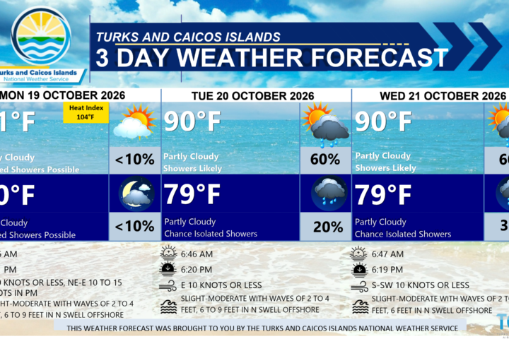
EXTENDED FORECAST: Drier air will bring relatively settled weather to the Turks and Caicos Islands on Thursday. However, a surge of moisture from the Caribbean Sea is expected to bring more showers and thunderstorms from Friday through the weekend, with the potential for heavy downpours and gusty winds. Residents should remain alert for changing weather conditions.
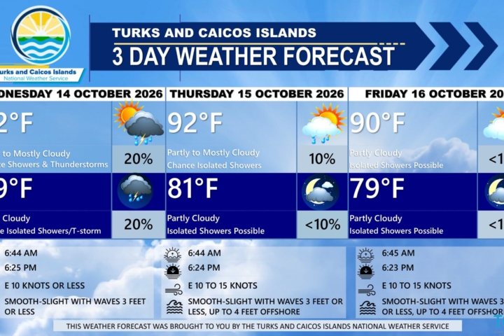
THURSDAY: Partly cloudy with a low (10 percent) chance of isolated showers. Highs near 92°F (33°C).
THURSDAY NIGHT: Partly cloudy a low (10 to 20 percent) chance of isolated showers and thunderstorms. Lows around 79°F (26°C).
WINDS: Southwest to west at 10 knots or less, falling light and variable at times.
SEAS: Smooth to slight with wave heights of 3 feet or less in the Caicos Bank; Slight to moderate with wave heights of 2 to 4 feet nearshore, building up to 6 feet in northerly swells offshore in Atlantic waters.
SUNRISE: 06:47 AM
SUNSET: 06:18 PM
HIGH TIDE: 05:46 AM (2.3 FT) 06:13 PM (2.3 FT)
LOW TIDE: 11:55 AM (1.0 FT) – – – – –
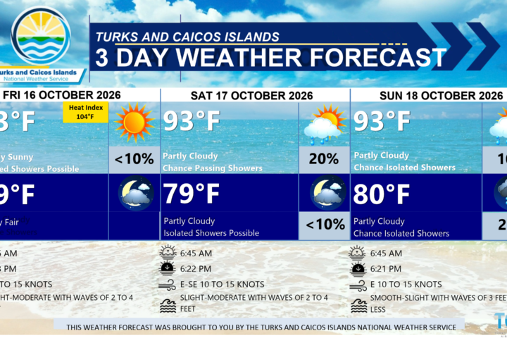
FRIDAY: Partly to mostly cloudy with low (20 to 30 percent) chance of showers and thunderstorms in the morning, then a medium (40 to 60 percent) chance of showers and thunderstorms in the afternoon. Some thunderstorms may be strong to severe at times. Highs near 89°F (32°C).
FRIDAY NIGHT: Mostly cloudy to overcast with a medium (40 to 60 percent) chance of showers and thunderstorms. Some thunderstorms may be strong to severe at times. New total rainfall accumulation between 1 to 2 inches, higher amounts possible in thunderstorms. Lows around 77°F (25°C).
WINDS: East to southeast at 5 to 15 knots
SEAS: Smooth to slight with wave heights of 3 feet or less in the Caicos Bank; Slight to moderate with wave heights of 2 to 4 feet nearshore, building up to 5 to 6 feet in northerly swells offshore in Atlantic waters.
SUNRISE: 06:48 AM
SUNSET: 06:18 PM
LOW TIDE: 12:29 AM (1.0 FT) 12:53 PM (1.0 FT)
HIGH TIDE: 06:38 AM (2.3 FT) 06:59 PM (2.6 FT)
TROPICAL WEATHER OUTLOOK:
1. Offshore of the East Coast of the United States (AL93): A storm-force non-tropical low pressure area located a few hundred miles off the mid-Atlantic United States coast is producing some shower and thunderstorm activity primarily west and northwest of its center. This system has a medium chance of formation over the next 48 hours.
FORECASTER: H.HAMILTON
AUDIO VERSION BELOW: