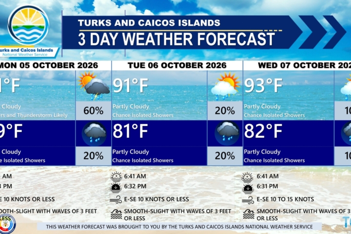
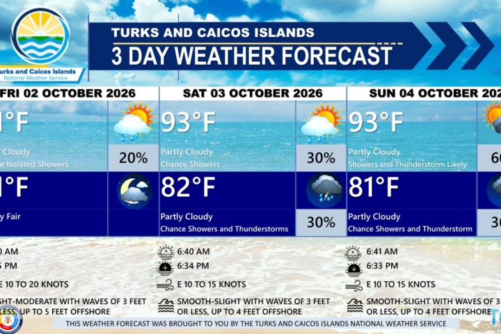
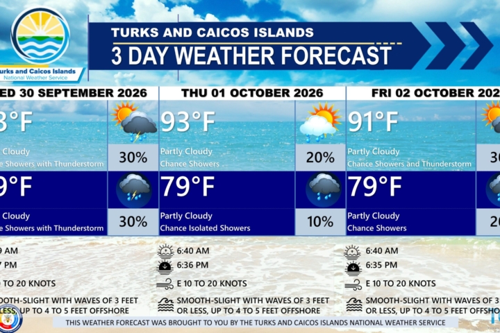
3-DAY PUBLIC WEATHER FORECAST PUBLIC FORECAST FOR THE TURKS AND CAICOS ISLANDS FOR THE NEXT THREE DAY FROM MONDAY JULY 20TH 2026
GENERAL SITUATION: The ridge of high pressure will continue to dominate the weather pattern across the Turks and Caicos Islands maintaining hot and generally stable conditions today.
SPECIAL WARNINGS:
UV Index: The public is advised to wear protective clothing and sunscreen, and seek shaded areas while outside during peak sunshine hours (11am – 4pm), as UV indices are expected to be in the very high to extreme range.
ALL AREAS
WEATHER: Mostly to partly sunny with isolated showers possible. Fair tonight.
WINDS: Easterly at 10 to 15 knots with higher gusts
SEAS: Smooth to slight with wave heights of 3 feet or less nearshore, building up to 5 feet offshore
DAYTIME HIGH TEMPERATURE 93°F 34°C
HEAT INDEX 103°F 40°C
OVERNIGHT LOW TEMPERATURE 81°F 27°C
SUNSET: 07:33 PM
NEXT HIGH TIDE: 02:10 PM (2.6 FT)
NEXT LOW TIDE: 08:38 PM (1.0 FT)
EXTENDED FORECAST: Generally stable and breezy conditions will persist through Tuesday. By midweek, the high pressure ridge will gradually weaken as a surface trough approaches the islands, increasing the chance of shower activity across the Turks and Caicos Islands.
TUESDAY: Partly cloudy, with a high near 93°F (34°C).
TUESDAY NIGHT: A low (10 percent) chance of isolated showers. Partly cloudy, with a low around 80°F (26°C).
WINDS: Easterly at 10 to 15 knots, becoming northeasterly at 10 to 20 knots in the evening
SEAS: Smooth to slight with wave heights of 3 feet or less nearshore, building up to 4 feet offshore
SUNRISE: 06:17 AM
SUNSET: 07:33 PM
HIGH TIDE: 02:26 AM (2.0 FT) 03:10 PM (2.6 FT)
LOW TIDE: 08:36 AM (1.0 FT) 09:47 PM (1.0 FT)
WEDNESDAY: A low (10 to 20 percent) chance of widely scattered showers. A mix of sun and clouds, with a high near 91°F (33°C).
WEDNESDAY NIGHT: A low (10 percent) chance of isolated showers and isolated thunderstorms. Partly cloudy, with a low around 80°F (26°C).
WINDS: Northeast to east at 10 to 15 knots
SEAS: Smooth to slight with wave heights of 3 feet or less, building up to 5 feet offshore
SUNRISE: 06:17 AM
SUNSET: 07:32 PM
HIGH TIDE: 03:26 AM (2.0 FT) 04:09 PM (2.6 FT)
LOW TIDE: 09:30 AM (1.0 FT) 10:52 PM (1.0 FT)
Tropical Weather Outlook For the North Atlantic…Caribbean Sea and the Gulf of America:
Active Systems: Tropical Depression Two is located over the northeastern Gulf of America and is expected to become a tropical storm later today. The depression will move near or along the northern Gulf coast during the next several days.
Tropical cyclone formation is not expected during the next 7 days.
FORECASTER: H. HAMILTON
AUDIO VERSION BELOW: