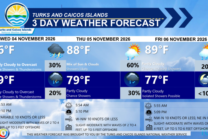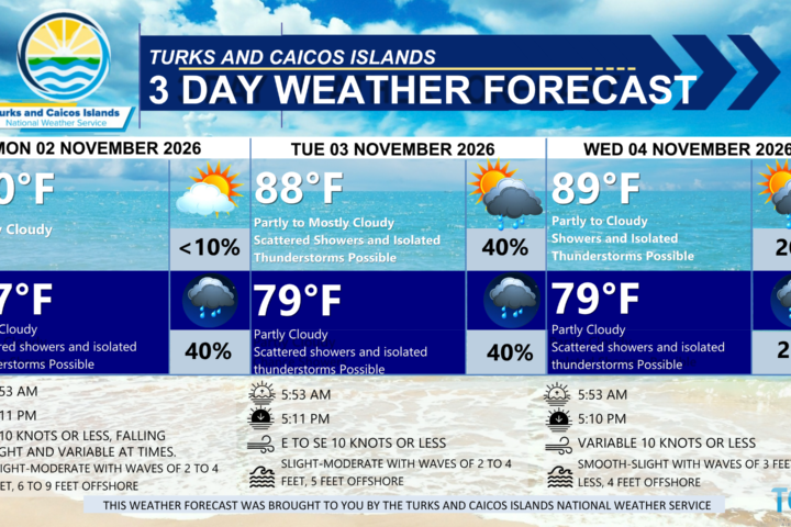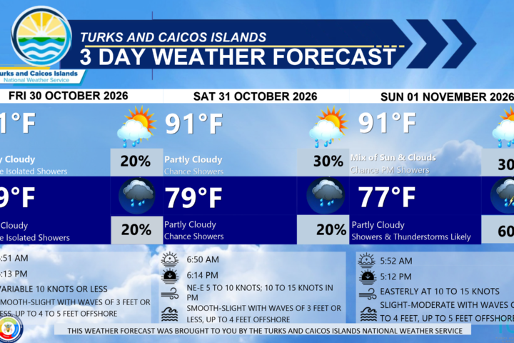

GENERAL SITUATION: Deep-layered troughing combined with a moist plume of air will continue to bring intermittent periods of widespread showers and thunderstorms across the Turks and Caicos Islands today.
SPECIAL WARNINGS: A Small Craft Advisory is in effect for the Turks and Caicos Islands until 8 AM Wednesday, November 28th. Small craft operators should remain near or in port and avoid Atlantic waters altogether.
A Severe Weather Watch remains in effect for the Turks and Caicos Islands.
Rip Currents: There is a high risk of dangerous, life-threatening rip currents across Atlantic coastlines of the island chain. Beachgoers should refrain from entering the water at this time.
Flooding: There is a moderate to high risk of flooding during heavy or prolonged rainfall periods especially in low lying, flood prone and areas already inundated with water.
Coastal Hazards: Large north to northeasterly swells may cause waves to overtop seawalls and coastal roads, especially near high tide, along north- and east-facing coasts.
WEATHER: Mostly cloudy to overcast with a high (70 to 90 percent) chance of scattered showers with thunderstorms through tonight. New total rainfall accumulation between half inch to inch (12.5 to 25 mm).
WINDS: South to southwest at 10 to 15 knots, falling light and variable at times.
SEAS: Slight to moderate with wave heights of 2 to 4 feet in the Caicos Bank; Moderate to rough with wave heights of 3 to 6 feet nearshore, building up to 6 to 9 feet in northerly to northeasterly swells offshore in Atlantic waters.
DAYTIME HIGH TEMPERATURE 82°F 28°C
OVERNIGHT LOW TEMPERATURE 73°F 23°C
SUNSET: 06:16 PM
NEXT HIGH TIDE: 09:02 AM (3.0 FT)
NEXT LOW TIDE: 03:28 PM (0.7 FT)
EXTENDED FORECAST: Unsettled conditions will persist through the end of the work week, with periods of cloudiness and localized showers and thunderstorms continuing across the Turks and Caicos Islands. Strong thunderstorms will remain possible during the morning and afternoon hours as abundant moisture and an upper-level trough influence the area. Rough sea conditions will continue through midweek, gradually subsiding as the week progresses.
TUESDAY: Partly to mostly cloudy with a medium (60 to 70 percent) chance of scattered showers and thunderstorms possible. Highs near 86°F (30°C).
TUESDAY NIGHT: Partly cloudy with a medium (40 percent) chance of showers, primarily over South Caicos, Grand Turk, and Salt Cay. Lows around 75°F (24°C). New total rainfall accumulation between half inch to inch (12.5 to 25 mm).
WINDS: Southeast to south at 10 to 15 knots, falling light and variable
SEAS: Slight to moderate with wave heights of 2 to 4 feet in the Caicos Bank; Moderate to rough with wave heights of 3 to 5 feet nearshore, building up to 6 to 7 feet in northeasterly swells offshore in Atlantic waters.
SUNRISE: 06:49 AM
SUNSET: 06:15 PM
LOW TIDE: 03:20 AM (0.3 FT) 04:18 PM (0.7 FT)
HIGH TIDE: 09:50 AM (3.3 FT) 09:14 PM (2.3 FT)
WEDNESDAY: A mix of sun and clouds with a low (30 percent) chance of widely scattered showers and isolated thunderstorms, primarily over South Caicos, Grand Turk, and Salt Cay. Highs around 86°F (30°C).
WEDNESDAY NIGHT: Partly cloudy with a medium (40 percent) chance of scattered showers and isolated thunderstorms. Lows around 75°F (24°C). New total rainfall accumulation between half inch to inch (12.5 to 25 mm).
WINDS: Southeast to south at 10 knots or less, shifting east to southeast at 10 to 15 knots at night.
SEAS: Smooth to slight with wave heights of 3 feet or less in the Caicos Bank; Slight to moderate with wave heights of 2 to 4 feet nearshore, building up to 5 to 6 feet in north to northeasterly swells offshore in Atlantic waters. Seas will gradually subside overnight.
SUNRISE: 06:50 AM
SUNSET: 06:14 PM
LOW TIDE: 04:06 AM (0.3 FT) 05:08 PM (0.7 FT)
HIGH TIDE: 10:39 AM (3.3 FT) 10:45 PM (2.3 FT)
TROPICAL WEATHER OUTLOOK: Tropical cyclone activity is not expected during the next 7 days.
FORECASTER: H. HAMILTON