GENERAL SITUATION: Weak high pressure ridging and an incoming plume of Saharan dust will maintain hot, dry, and stable conditions across the Turks and Caicos Islands today.
SPECIAL WARNINGS:
A Heat Advisory remains in effect for the Turks and Caicos Islands.
A Dust Advisory is now in effect for the Turks & Caicos Islands through Saturday. The level of dust is expected to reach moderate levels by early afternoon which may impact air quality and hinder visibility at times. Residents, especially those with respiratory illnesses, should take precautions to safeguard their health.
AREA: ALL AREAS
WEATHER: Partly cloudy and hazy. Mostly fair tonight.
WINDS: East to southeast at 10 to 20 knots
SEAS: Smooth to slight with wave heights of 3 feet or less nearshore, building up to 4 feet offshore
DAYTIME HIGH TEMPERATURE 93°F 34°C
HEAT INDEX 108°F 42°C
OVERNIGHT LOW TEMPERATURE 81°F 27°C
SUNSET: 07:15 PM
NEXT HIGH TIDE: 04:31 PM (2.6 FT)
NEXT LOW TIDE: 11:14 PM (1.3 FT)
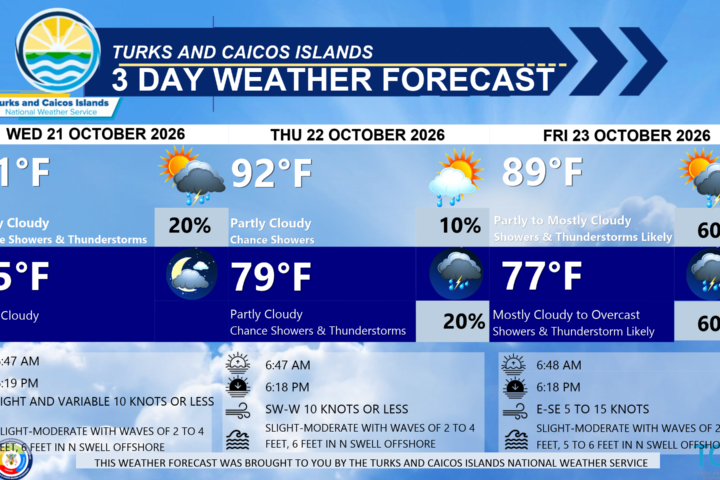
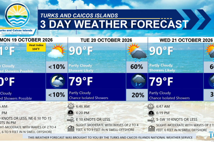
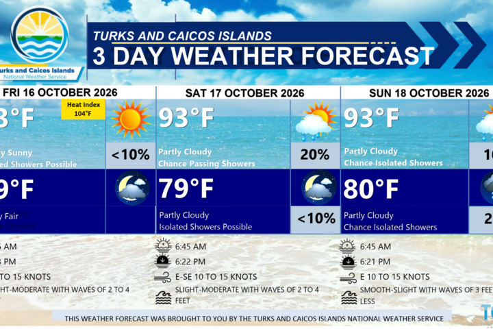
EXTENDED FORECAST: Dry and settled conditions are expected to persist across the Turks and Caicos Islands heading into the weekend, as high pressure and drier air dominate the area.
SATURDAY: Partly cloudy and hazy, with a high near 93°F (34°C).
SATURDAY NIGHT: Partly cloudy and hazy, with a low around 82°F (28°C).
WINDS: East to southeast at 10 to 20 knots
SEAS: Smooth to slight with wave heights of 3 feet or less nearshore, building up to 4 feet offshore
SUNRISE: 06:29 AM
SUNSET: 07:14 PM
HIGH TIDE: 04:39 AM (2.0 FT) 05:23 PM (2.6 FT)
LOW TIDE: 10:35 AM (1.0 FT) – – – – –
SUNDAY: A low (10 percent) chance of isolated showers. Partly cloudy and a bit hazy, with a high near 93°F (34°C).
SUNDAY NIGHT: A low (10 percent) chance of isolated showers. Partly cloudy, with a low around 82°F (28°C).
WINDS: Easterly at 10 to 20 knots
SEAS: Smooth to slight with wave heights of 3 feet or less nearshore, building up to 4 feet offshore
SUNRISE: 06:29 AM
SUNSET: 07:13 PM
LOW TIDE: 12:01 AM (1.3 FT) 11:26 AM (1.0 FT)
HIGH TIDE: 05:28 AM (2.0 FT) 06:11 PM (2.6 FT)
TROPICAL WEATHER OUTLOOK:
There are two areas of interest in the Atlantic Basin:
1. Northeastern Atlantic: A non-tropical area of low pressure has developed over the northeastern Atlantic several hundred miles north-northeast of the Azores. This system could acquire some subtropical or tropical characteristics on Saturday or early Sunday while it moves east-southeastward at 10 to 15 mph toward Portugal and northwestern Spain. This system has a low (20 percent) chance of formation during the next 7 days.
2. Central Subtropical Atlantic: A weak area of low pressure located over the central subtropical Atlantic a few hundred miles east-southeast of Bermuda is producing an area of disorganized showers and thunderstorms. This system has a low (20 percent) chance of formation during the next 7 days.