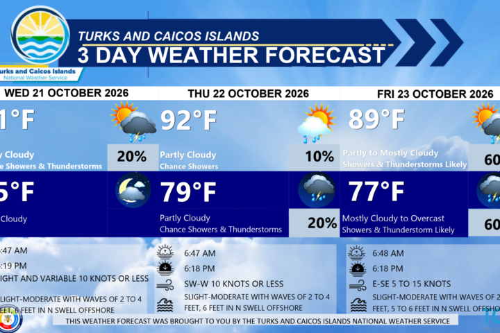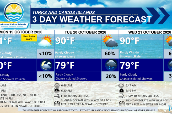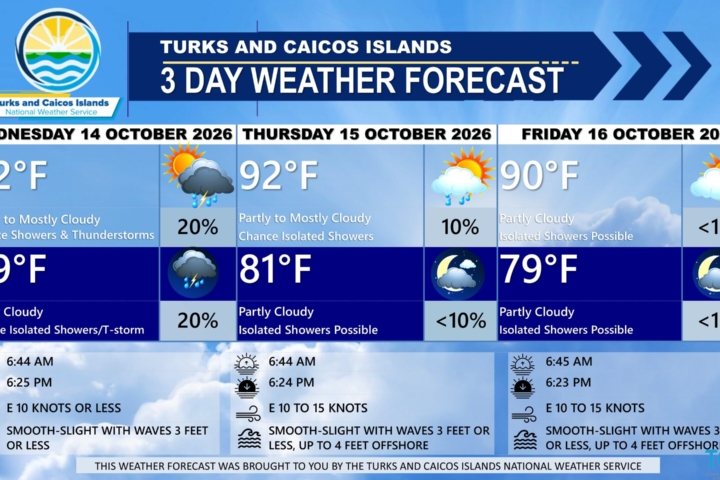

GENERAL SITUATION: High pressure maintains relatively warm temperatures and moderate easterly breezes throughout the day.
SPECIAL WARNINGS: There are currently no warnings in effect for the Turks and Caicos Islands.
SPECIAL NOTE: There is a slight risk of rip currents across all Atlantic-exposed waters. Beachgoers and swimmers are advised to exercise caution when entering the water.
ALL AREAS
WEATHER: Mostly sunny with isolated showers possible. Mostly fair tonight.
WINDS: Easterly at 5 to 15 knots
SEAS: Slight to moderate with wave heights of 2 to 4 feet
DAYTIME HIGH TEMPERATURE 93°F 34°C
HEAT INDEX 104°F 40°C
OVERNIGHT LOW TEMPERATURE 79°F 26°C
SUNSET: 06:23 PM
NEXT HIGH TIDE: 01:28 PM (2.6 FT)
NEXT LOW TIDE: 07:54 PM (1.3 FT)
EXTENDED FORECAST: The high pressure will shift eastward today, ahead of strong cold front that will move off the coast of Florida by early Saturday, then stalling near the central Bahamas early next week. Ahead of the front, showers are expected to develop across parts of the Turks and Caicos Islands early next week.
SATURDAY: Partly cloudy with a low (10 to 20 percent) chance of passing showers, especially in the afternoon. Highs near 93°F (34°C).
SATURDAY NIGHT: Partly cloudy with isolated showers possible. Lows around 79°F (26°C).
WINDS: East to southeast at 10 to 15 knots
SEAS: Slight to moderate with wave heights of 2 to 4 feet
SUNRISE: 06:45 AM
SUNSET: 06:22 PM
HIGH TIDE: 01:18 AM (2.0 FT) 02:14 PM (2.6 FT)
LOW TIDE: 07:23 AM (1.0 FT) 08:41 PM (1.3 FT)
SUNDAY: Partly cloudy with a low (10 percent) chance of showers in the afternoon. Highs near 93°F (34°C).
SUNDAY NIGHT: Partly cloudy with a low (10 to 20 percent) chance of isolated showers. Lows around 80°F (26°C).
WINDS: Easterly at 10 to 15 knots
SEAS: Smooth to slight with wave heights of 3 feet or less
SUNRISE: 06:45 AM
SUNSET: 06:21 PM
HIGH TIDE: 02:01 AM (2.0 FT) 03:02 PM (2.3 FT)
LOW TIDE: 08:07 AM (1.0 FT) 09:29 PM (1.3 FT)
TROPICAL WEATHER OUTLOOK:
Tropical cyclone activity is not expected during the next 7 days.