PUBLIC FORECAST FOR THE TURKS AND CAICOS ISLANDS FOR THE NEXT THREE DAYS FROM WEDNESDAY JULY 08TH 2026
GENERAL SITUATION: Broad high pressure ridging and Saharan dust will keep conditions mostly stable across the Turks and Caicos Islands today, with strong easterly trade winds and moderate seas. Shower and thunderstorm chances will increase this evening as a tropical wave approaches the islands.
SPECIAL WARNINGS: A Dust Advisory remain in effect for the Turks & Caicos Islands. Residents, especially those with respiratory conditions, should take the necessary precautions to safeguard their health.
Rip Currents: Swimmers and beachgoers should avoid entering waters, due to the high risk of rip currents and rough surf.
ALL AREAS
WEATHER: Partly sunny and hazy with isolated showers possible through this afternoon. Partly cloudy with a low (10 to 20 percent) chance of isolated showers and isolated thunderstorm tonight.
ADVISORY: A small craft caution is in effect for local waters
WINDS: Easterly at 10 to 20 knots with higher gusts
SEAS: Slight to moderate with wave heights of 2 to 4 feet nearshore, building up to 6 feet offshore
DAYTIME HIGH TEMPERATURE 90°F 32°C
HEAT INDEX 100°F 38°C
OVERNIGHT LOW TEMPERATURE 81°F 27°C
SUNSET: 07:35 PM
NEXT HIGH TIDE: 03:42 PM (2.6 FT)
NEXT LOW TIDE: 10:15 PM (1.0 FT)
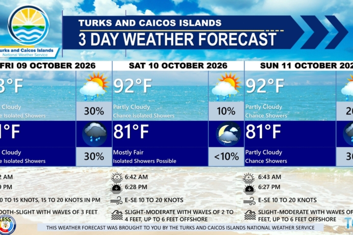
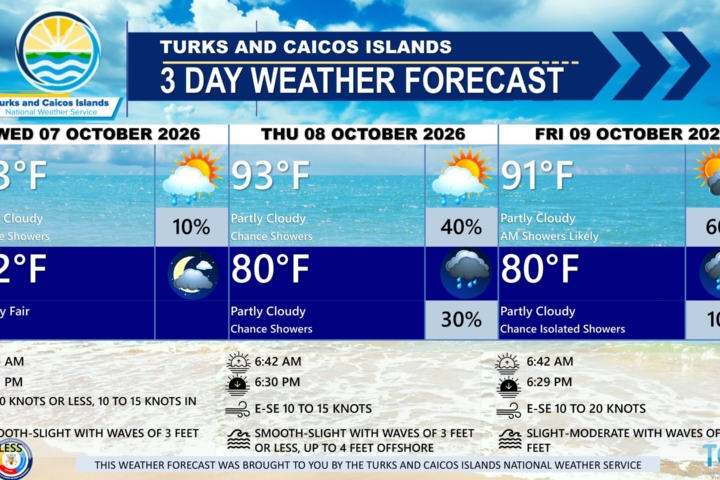
EXTENDED FORECAST: On Thursday, the tropical wave will move through the area, resulting in some unsettled weather and increasing the chances for severe weather conditions into Friday. High pressure is expected to build across the islands again by the weekend.
THURSDAY: A low (20 to 30 percent) chance of widely scattered showers and isolated thunderstorms. Partly cloudy, with a high near 90°F (32°C). There is a marginal to slight risk of severe thunderstorms.
THURSDAY NIGHT: A low (10 to 20 percent) chance of widely scattered showers and isolated thunderstorms. Partly cloudy, with a low around 81°F (27°C).
ADVISORY: A small craft caution is in effect for local waters
WINDS: Easterly at 15 to 20 knots with gust up to near-gale force (28-33 knots).
SEAS: Slight to moderate with wave heights of 3 to 5 feet nearshore, building up to 6 to 7 feet offshore
SUNRISE: 06:12 AM
SUNSET: 07:35 PM
HIGH TIDE: 03:57 AM (2.0 FT) 04:46 PM (2.6 FT)
LOW TIDE: 10:04 AM (0.7 FT) 11:25 PM (1.0 FT)
FRIDAY: A low (10 to 20 percent) chance of isolated showers and possibly an isolated thunderstorm in the morning. Partly cloudy, then partly sunny to sunny by the afternoon, with a high near 91°F (33°C)
FRIDAY NIGHT: Mostly fair, with a low around 79°F (26°C).
ADVISORY: A small craft caution is in effect for local waters
WINDS: Easterly at 15 to 25 knots
SEAS: Slight to moderate with wave heights of 3 to 5 feet nearshore, building up to 6 to 7 feet offshore
SUNRISE: 06:12 AM
SUNSET: 07:35 PM
HIGH TIDE: 05:00 AM (2.0 FT) 05:49 PM (3.0 FT)
LOW TIDE: 11:06 AM (0.7 FT)
TROPICAL WEATHER OUTLOOK: Tropical cyclone activity is not expected during the next 7 days.
FORECASTER: DR. H. HAMILTON